Telemetry: how does it work?
How does it work?
Telemetric tracking, in its broadest sense, involves equipping animals with a miniature geolocation devices or tags (e.g. a GPS) to study their movements and behavior. There are different types of tags, adapted to the species and its size.
Depending on the technologies used and the precision of the tags, this method provides a wide range of information: spatial distribution of species on land and at sea, migration routes, feeding paths, flight behavior (resting, feeding, transit). The addition of sensors or biologgers provides additional information on altitude, activity and environmental data (pressure, temperature…).
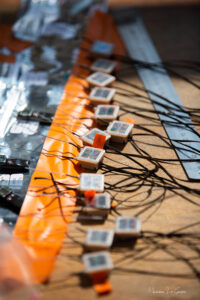
All instruments are fitted with batteries and solar panels, enabling them to operate for several months to several years. The larger the beacon, the more precise and numerous the data collected. To minimize the impact of the beacons on the birds, the weight of the equipment is limited to a maximum of 5% of their mass. The data collected on large birds using GPS are therefore more accurate than those collected on small birds using GLS.
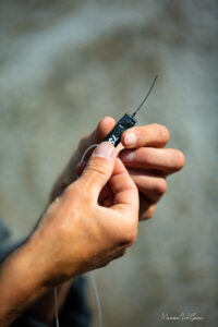
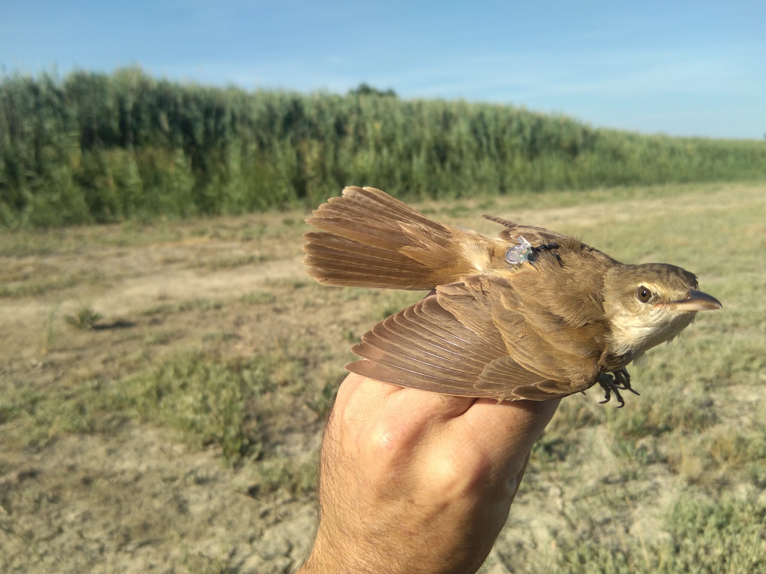
The tags are attached to the birds using lightweight harnesses made of Teflon, silicone or very fine nylon for GLS. Depending on the morphology of the species, the harness is fitted either around the wings like a backpack, or around the thighs like a shoulder harness. The key is to ensure that the bird’s movements are not impeded, and that the beacon’s solar panels emerge correctly from the feathers to recharge.
Some diving birds, such as shearwaters, loons and penguins, whose hydrodynamic morphology is particularly important, would not tolerate the installation of a harness, nor the long-lasting attachment of a GPS, which could increase the energy required for diving. On these birds, the GPS are attached to the lower back feathers with special tape. The system falls out after a few weeks, either due to tape wear or the feather moult that follows the breeding period. The birds are therefore tracked live until the tag is released.
The different types of tags used in the Migratlane program :
GPS :
- Minimum weight: 3.5g (OT-3, ®Ornitela) for small birds weighing over 90g and up to 25g (OT-25, ®Ornitela) for larger birds.
- Accuracy: 1 to 20 metres
- On-board sensors: altitude, temperature, light, acceleration (activity estimation). The OT-D range also includes a dive recorder.
- Data transmission: live via 2/3/4/5G network
30g turdoid warbler fitted with a 0.5g GLS (the €1 coin is used to show the scale). Photo credit: Stephan Tillo/Tour du Valat
GLS :
- Minimum weight: 0.5g for small passerines weighing over 14g.
- Accuracy: 80 to 150 km
- On-board sensors: pressure, temperature, light, acceleration (activity estimation)
- Data transmission: none. Equipped birds must be found and recaptured to recover the GLSs and their data.
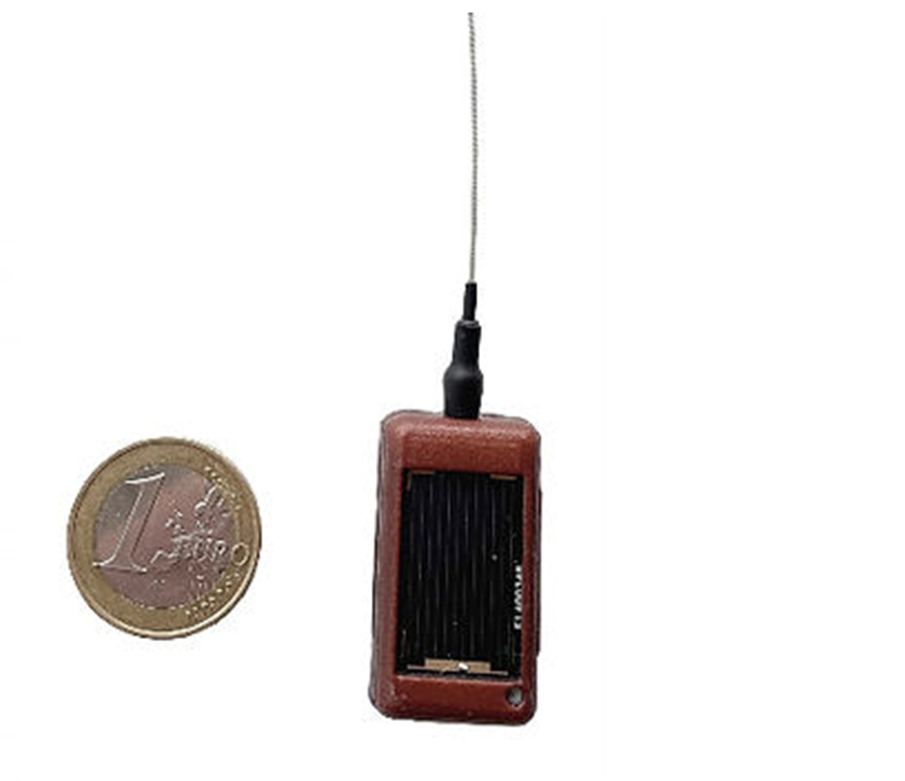
10g OT10 GPS equipped with solar panels and capable of transmitting data via the GSM network. Photos © Ornitela.